Truck routing programs, while not a silver bullet, can go a long way towards making trucking businesses that much more efficient and perhaps even contributing something to your bottom line. Trucking programs can analyze a vast body of variables, including the quality of roads and whether they’re truck-friendly, the weather along various routes, real-time traffic along various roads, and even the energy of the truck driver and fuel in their vehicle. The end result is the fastest, most convenient route available to help a truck driver transport their goods to the destination.
Azure Maps’ truck routing API is purpose-built to help you simplify logistics management at scale and is fully customizable to suit your company’s goals. Here’s more on how Azure Maps APIs can improve truck route planning for you.
Faster, more accurate routing
The Azure Maps truck router takes into account an unusual level of detail, including the capability of every truck to handle various turns and topographical differences. What you get is unique, optimized routes for your fleet that get them to their destination faster. You can also alter the criteria in the truck routing program to receive multiple routes for every journey, including the fastest, but also the shortest, most eco-friendly, and the most scenic.
Powerful geospatial data
When you choose Azure Maps APIs, by extension, you benefit from our vast repository of rich, geospatial information. Curated from diverse sources worldwide and in some cases, available with real-time updates, our data, combined with powerful analytics tools, can help you extract actionable insights, spot trends, and uncover hidden patterns to drive strategic initiatives. This could potentially include recommendations on whether to temporarily redirect truck routing from a certain region owing to the potential for poor weather, social unrest, or any of a host of issues that could disrupt your business.
Route Range
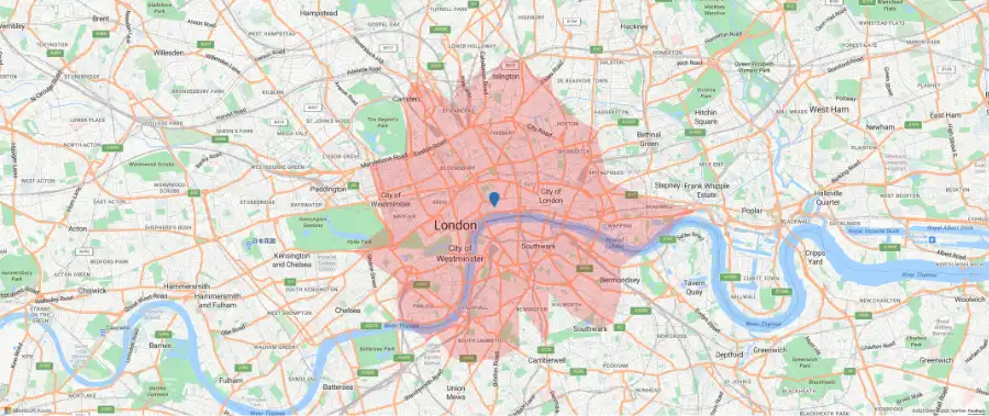
The Route Range Service is a very useful tool for logistics companies, especially those with trucking operations. When called, the Get Route Range API will give you the maximum distance from a single point that a driver can reach, given available time, fuel, and energy. It essentially creates a map with a boundary to specify the reach of every driver, while also calculating all the relevant locations within that boundary that the driver could conceivably get to. This is a handy complement to your truck routing program, to see just how far every driver can make at any given point in time.
Batch geocoding
Batch geocoding allows you to convert hundreds of addresses into geographic coordinates (and vice-versa) with a single request. It’s one of the features of Azure Maps’ routing service that makes it so suitable for enterprises that need results at scale and quickly. It enables you to simplify delivery planning and fleet management right from the point you receive a new set of order destinations and on an ongoing basis until each delivery is fulfilled.
Endless Customization
The Azure Maps platform allows you to customize your truck routing program any way you see fit. Depending on factors like your corporate strategy, your fleet management needs, or the requirements of a particular job, you can specify all kinds of key limitations, from carbon emissions to vehicle usage, cargo rules, weight limits, bridge height, and so on. You can ensure that your trucking app delivers for you and the enterprise goals you’ve set out.
EV Data
Increasingly, conventionally-powered fleets are being replaced with EV and hybrid vehicles and truck routing programs must take that into account. Azure Maps provides you with robust EV data you can rely on so that your drivers can be directed along routes that have crucial charging stations available, all customized to each EV’s consumption model.
Interactive Demos
With Azure Maps, you have a chance to see how the platform works before you buy into it. With a library of over 280 open-source code samples, you can see our map visualizations in action and get a sense of how they would work for your app. You can also start building for free on the Azure Maps platform, so your team can create a proof of concept before adopting the platform as a whole.
Enhance truck routing and enterprise efficiency with Azure Maps
The Azure Maps truck router goes beyond just improving the results of individual journeys; it has the capability to influence organizational productivity and even assist with strategic decision making. Contact sales and speak to an Azure Maps expert to see how our platform can help with your requirements.