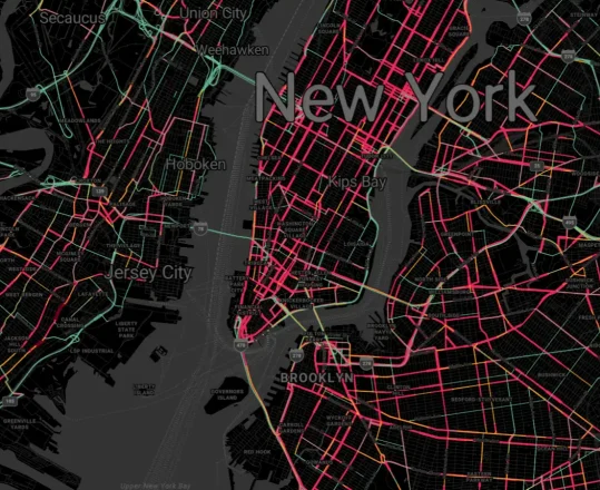
As geospatial projects range in scope and scale, often companies must start small to develop scalable applications to manage and interpret geospatial datasets of any size. Certainly geospatial information can span states, regions, countries, or even the entire world!
Working with geospatial data, especially when it spans a large area of the globe, can create slowed-down rendering. Likewise, moving large dataset using inefficient data transfers can also cause frustration and a delayed experience. Fortunately, vector tiles can help make geospatial projects much easier to work with, more user-friendly and faster to render.
What Defines a Large-Scale Geospatial Application?
What separates a small-scale project from one using a much broader scale? The answer to this question involves several factors.
Small-scale applications typically focus on a miniscule area, such as a small town or neighborhood. Large-scale applications typically pull and use data from wider areas, including large cities, national, and global regions.
Another difference between small and large-scale applications involves data volumes. A small-scale application often depends on smaller datasets. Large-scale operations span wider areas, meaning they also demand more data.
As you can imagine, large-scale applications also require more bandwidth, scalability, and infrastructure.
Large-scale geospatial projects can include:
- Global navigation
- City planning
- Environmental-related monitoring
- Disaster management
- Agriculture
- Telecommunications
- Military and defense
What Are Vector Tiles?

Large-scale geospatial projects often involve challenges. A way to overcome the data and bandwidth-intensive challenges of mapping data on a large scale is by using vector map tiles. Traditional raster tiles use pre-rendered images. However, as the name implies, vector tiles can store geographical information as vector data.
Vector and raster tiles also differ regarding load times and user hardware. Raster tiles aren’t as demanding on the hardware of end users but require significant server performance. Vector map tiles load faster than raster tiles while requiring fewer server-side resources.
Why Are Vector Map Tiles Beneficial?
- Vector-Based Data: Vector map tiles can contain representations in vector form of various geographic features, including bodies of water, roads, highways, and buildings.
- Responsive Zoom Levels: To offer a faster experience, vector map tiles can be tuned to display less detailed data at different zoom levels. When a user zooms in, vector map tiles can display more detailed features.
- Data Efficiency: Data storage and transfer are two crucial concerns of geospatial mapping applications. Depending upon the number of details, vector tiles can be smaller than raster tiles. That’s because rather than pixels, vector map tiles contain geographic data used to render the tile.
- Compatible With Multiple Platforms: Vector map tiles make geospatial data access available on many platforms, including desktop, web, and mobile applications.
- Flexibility: Unlike rendered raster tiles, visual styling can be applied after the data is retrieved – providing greater flexibility in visual presentation. Companies can use custom geospatial data, public datasets, and more to generate custom-styled vector-based maps.
How Azure Maps Uses Vector Tiles for Geospatial Applications

It’s important to know how Azure Maps offers an incredible user experience. Here is how using Azure Maps with vector map tiles is helpful for large-scale geospatial projects.
Compatibility and Data Efficiency
Azure Maps lets companies display multiple types of data from many sources. Your business can combine business listings, objects, and points of interest on both static map images and vector map tiles. Plus, these functionalities work seamlessly on mobile or web applications.
Best of all, Azure Maps expertly manages and serves vector map tiles, relieving developers of such tasks. Additionally, Azure Maps’ management of vector tiles typically results in lower bandwidth usage and fast data transfer speeds.
Integrations
Another advantage of Azure Maps is how it integrates data. If you want to display GIS data on maps, Azure Maps can easily integrate with PostGIS. These two programs let users dynamically query vector map tiles. This approach can be great for simple queries in datasets with fewer than a million records.
Customization
Azure Maps offers superior developer customization options. This maps platform offers customized tile layers, inlays, and map styles. These options give your business the freedom to create new projects from the ground up or adjust current large-scale geospatial projects.
Smooth Rendering
Using Azure Maps to combine geospatial data with vector map tiles results in efficient client-side rendering. The result is a user-friendly and smooth map experience, which will scale to accommodate any size of geospatial application.
Using Azure Maps Vector tiles can improve how your company, business partners, and customers handle geospatial data. Start building for free with Azure Maps today.